
Products
Drones & mapping
DJI Enterprise drones, LiDAR and survey payloads, RTK stations and mapping software.

The problem
What gets in the way
Surveying large or hazardous sites on foot is slow, costly and risky.
Typical sites
Mines, plantations, surveyors, engineering firms, utilities, police and emergency services
What we supply
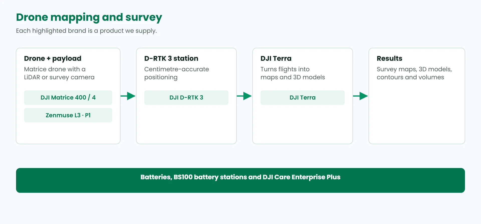
- DJI Matrice 400 and Matrice 4 series enterprise drones
- Zenmuse L3 LiDAR and Zenmuse P1 full-frame photogrammetry payloads
- DJI D-RTK 3 multifunctional station, with survey pole and tripod, for centimetre accuracy
- DJI Terra mapping and 3D modelling software
- Intelligent flight batteries, BS100 battery stations and DJI Care Enterprise Plus
Brands we supply
DJI Enterprise (Master Distributor)
How it fits together
Not sure which product you need?
Our team will recommend the right products and send a quote. Call +675 7527 3801 or email sales@pisctech.com.